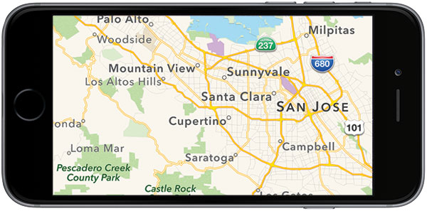
Apple has assembled a group of robotics and data-collection experts who will use unmanned aerial vehicles — that is, drones — to obtain data for updates to its Maps app, Bloomberg reported Thursday.
Apple, Google and others in the cartography space currently collect a lot of their data using motor vehicles equipped with high-tech gear.
“That’s a very expensive and time-consuming process,” said Sam Abuelsamid, a senior research analyst at Navigant Research.
“Doing it with drones provides the potential to gather the same kind of data in a much more cost-effective manner and do it more rapidly,” he told TechNewsWorld.
“Drones allow them to cover more territory faster,” observed Tim Bajarin, president of Creative Strategies.
“It is the most obvious way to help keep road data up to speed at all times,” he told TechNewsWorld.
Drone Alone
However, drones are no substitute for a fleet of ground vehicles, maintained Tsou, a professor in the geography department at San Diego State University.
“I don’t think drones can replace the ground vehicles since there are many limitations of UAVs,” he told TechNewsWorld. “The viewpoint of drones is very different from a car. For car navigation purposes, the car view is more important than an airplane view.”
There are other disadvantages to using drones for information collecion.
“Most folks recognize a Google Street View car as it drives along the road, and even a Street View pedestrian with the huge camera and backpack is pretty recognizable,” noted Ken Hyers, director of wireless device strategies for Strategy Analytics.
However, “a small drone whizzing around may surprise or irritate folks,” he told TechNewsWorld.
Privacy also will be an issue.
“When a ground vehicle collects this information, it is driving along public roads and can only see what’s visible from the road,” Hyers explained, “but a drone can peek over fences, look in backyards, and into rooms behind balconies.”
Indoor Maps
The Federal Aviation Administration earlier this year approved Apple’s request to operate an unmanned aircraft system to conduct data collection, photography and videography.
The approval is subject to a number of conditions and limitations: a drone’s speed can not exceed 87 knots; its altitude is limited to 400 feet; and its flight operations must be kept at least 500 feet away from all persons, vessels, vehicles and structures, with certain exceptions.
In addition, drones must be flown during daylight hours and within eyesight of a pilot licensed to operate a UAV.
Apple also plans to add an indoor navigation features to Maps to help people find their away around high-traffic buildings, such as airport terminals and museums, according to the Bloomberg report. The company likely will use technology gained with two recent acquisitions — Indoor.io and WiFiSlam — for that purpose.
“Apple wants to give iPhone users no reason to download Google Maps,” explained Ross Rubin, principal analyst at Reticle Research.
“With both of them heavily pushing payment technologies, you can see Apple’s interest in being able to direct customers to the exact location of a can of tomato soup in a supermarket if there’s an opportunity to pay using their phones,” he told TechNewsWorld.
Importance of Maps
Maps are a crucial component for any company that wants to profit in the mobile space, especially one that wants to build revenue from its service offerings, as Apple does.
“The Maps app is associated with many location-based services, such as finding nearby restaurants, shopping [and] movies,” SDSU’s Tsou explained.
“Mapping services, including navigation, are the most frequently used services in both iOS and Android phones — and one of the top data transaction categories in the mobile networks,” he continued.
“Good mapping services will help location-based services and their partners get more customers and get more money,” Tsou added. “It is one of the most important services on mobile phones linking to many key partners and developers.”
Catching Google
When Apple introduced its Maps app in 2012, it marked one of biggest missteps in the company’s history. Since that time, it has bumped up the accuracy of the app and added features like faster data updates, public transit navigation, better search results, and support for services such as Uber ride-hailing and OpenTable restaurant reservations.
As good as Maps has become, it still has a way to go before it can best chief rival Google.
“I think Apple can approximate what Google does, but Google seems to have more resources dedicated to developing their maps,” said Michael Blades, senior industry analyst for aerospace and defense at Frost & Sullivan.
“While Apple seems to want to challenge with this drone idea, the overall information in Google Maps will likely still be better, with Apple perhaps having better information in the local areas where drone-gathered data is implemented,” he pointed out. “Bottom line: Apple has vastly improved its Maps app, but I think the Google infrastructure related to its Maps app will keep it ahead for the foreseeable future.”


